The high pressure over Utah is finally breaking down and snow showers are expected this weekend. While that’s good news for the ski resorts, the conditions in the backcountry will become dangerous – even deadly conditions could exist.
Since the first snow of the season has fallen, there have been a lot of sunny days and a lot of clear, cold nights. What that’s done to the snowpack, according to Utah Avalanche Forecaster Trent Meisenheimer, is created the first condition for avalanche.
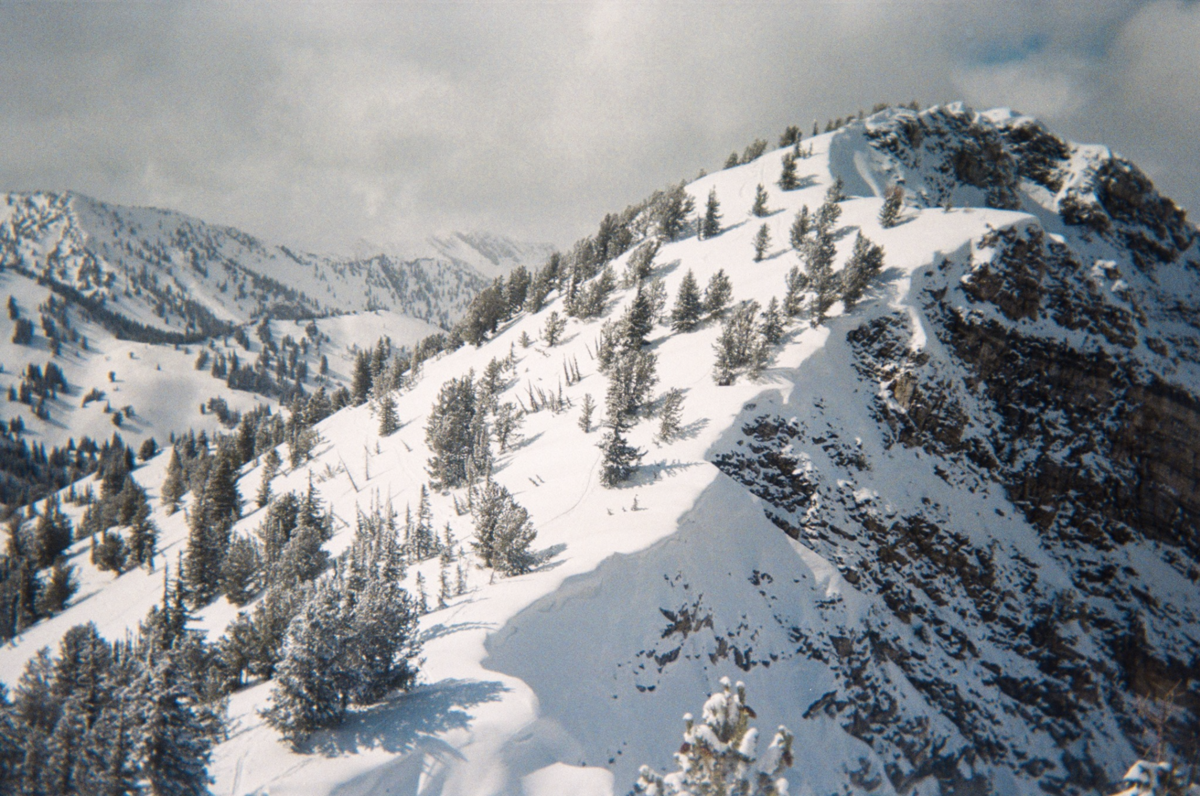
“We have generally shallow snow throughout the mountains,” says Meisenheimer. “What that creates is a very strong temperature difference in our snowpack right, so the ground stays relatively warm about 32 Fahrenheit and with that shallow snow the surface of the snow can be very cold like in the single digits cold. And that creates that big temperature difference across a very shallow layer of snow. And what that does is it makes our snow weak, or a term that gets thrown around a lot is faceted. Now what faceted snow is, is it takes that you know beautiful snowflake that falls out of the air and over a few days, it’ll actually become more square and angular, the shape of the crystal – and it’s just like rock salt or sand -if you could think about it that way. So, anywhere you look right now, and you see white snow on those hills it’s generally faceted snow. It’s become loose and sugary and weak.”
Avalanches are created when snow is faceted, and a slab of new snow drops on top of the old, rotten snow.
“And a slab can just be anything that’s a little bit more dense than the snow underneath it,” he explains. “And as you heard, we’re expecting storms starting Friday morning and then lasting it looks pretty good all the way through Christmas with snow stacking up in the mountains. Now, what this is going to do is it’s just going to raise our avalanche danger so because of that new snowfall, we’re gonna add a slab and now we’ve got avalanches throughout the mountains.”
No problem today – but this weekend things will change.
“Coming into the weekend, we’re gonna start building a slab on top of that weak layer and avalanches will become more likely,” he says. “So, what this means for us and what we need to do, is moving into the weekend, we need to be aware that this week snow exists and when we do get that stronger snow on top – we need to tone it down. So, that means sticking to slopes under 30 degrees in steepness. And really important, especially with weak layers, is that we don’t want to be under big slopes either because even if we’re standing on flat terrain and there’s that big, steep, hill above us, we can actually trigger the avalanche from below and have that avalanche come down on top of us.”
No one should be in the backcountry without a transceiver, probe, a shovel – and a partner.